Tulane takes leading role in $10 million global archaeology mapping initiative
Tulane University’s Middle American Research Institute (MARI) is taking a leading role in a global initiative to transform how archaeologists uncover ancient civilizations that remain hidden beneath dense tropical landscapes.
As a lead partner in the LidArc Initiative — a five-year, $10 million project funded by the Hitz Foundation — Tulane is helping to make high-resolution lidar (light detection and ranging) mapping more accessible in regions where archaeological research has long been hindered by dense vegetation, limited resources or remoteness.
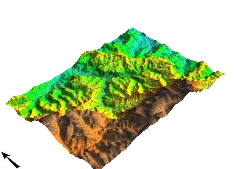
Led by Global Digital Heritage, a nonprofit research organization directed by archaeologist Herbert Maschner, LidArc will use airborne lidar to reveal the contours of ancient buildings, roadways and settlements once hidden beneath thick forest canopies. The initiative spans multiple continents and enables archaeologists to analyze landscapes in minutes what previously took years of on-the-ground exploration.
“This initiative is truly game-changing,” said Marcello A. Canuto, professor of anthropology in the Tulane School of Liberal Arts and director of MARI, which received more than $1.1 million through the initiative — one of the most significant archaeology research grants ever awarded. “The ability to systematically deploy lidar at this scale allows us to see ancient landscapes with a level of clarity and coverage that was unimaginable just a few years ago.”
Tulane will lead two of the largest campaigns in the initiative — in Costa Rica and the western Amazon of Peru — underscoring its long-standing commitment to archaeological research across Latin America, particularly in underexplored and environmentally challenging regions.
In Costa Rica, MARI is working with archaeologists John Hoopes of the University of Kansas and Silvia Salgado of the University of Costa Rica to survey more than 1,000 square kilometers across five major zones. These include the jade-working centers of Línea Vieja, the monumental site of Guayabo de Turrialba and the rainforest-covered gold settlements of the Osa Peninsula, along with the Río San Juan corridor and Santa Rosa Peninsula.
In Peru, MARI teams up with Tulane archaeologist Jason Nesbitt to map three key regions: the Ecuador–Peru borderlands, the Huallaga-Marañón river confluence and the Ucayali River basin near Pucallpa. These remote areas are believed to hold major insights into early lowland South American civilizations and are prime candidates for lidar’s ability to reveal pre-Hispanic structures hidden beneath the rainforest.
"The first surveys will take place in Costa Rica and the Peruvian Amazon in the next two years in collaboration with colleagues working in those countries,” said Tulane research professor and National Geographic explorer Francisco Estrada-Belli. “I am especially excited about mapping in the Amazon forest, where entire civilizations might be waiting to be discovered."
Estrada-Belli, who will oversee postdoctoral and graduate student analysis of the data in MARI’s Geographic Information Systems lab, added: "I am confident that lidar maps will show amazing things."
Additional LidArc mapping projects will take place in Italy, Malawi, South Africa, Central America and across the Amazon, with smaller efforts planned in Bosnia and Herzegovina, Jordan, Spain, Albania and throughout southern Africa. In some regions, unmanned drones equipped with lidar sensors will be used to access remote or difficult-to-reach areas.
“The LidArc Initiative is one of the most ambitious archaeological projects ever funded,” Canuto said. “Tulane’s central role reflects not only MARI’s deep roots in Latin American research but also its growing global leadership in remote sensing and heritage science.”
“LidArc represents a major step toward leveling the playing field in archaeological research,” Maschner said. “By expanding access to advanced technologies like lidar, we’re enabling scholars and communities around the world to rediscover and protect their cultural heritage. We’re excited to support Tulane in opening new chapters of human history.”


