Professor tackles Louisiana’s coastal loss through oyster reef research
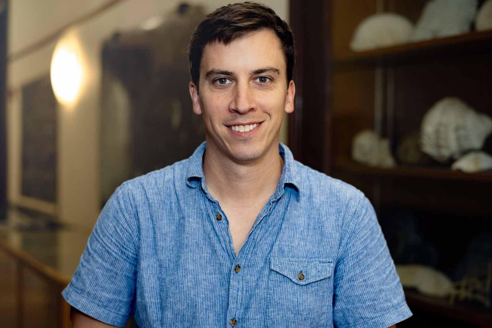
When Thomas DeCarlo packed his bags to move to New Orleans, he had never set foot in the city. But he was on a mission: protecting Louisiana’s rapidly disappearing marshes.
With support from the ByWater Institute’s 2025 Faculty Fellowship, he’s launching a project to study how restored oyster reefs can safeguard the state's wetlands.
For a scientist who once chose marine biology simply because it “sounded cool,” the work has become far more urgent.
DeCarlo’s mission became clarified in 2015 when he traveled to Jarvis Island, a tiny, remote U.S. territory in the central Pacific, long celebrated as one of the healthiest coral systems under U.S. jurisdiction. But when DeCarlo and his colleagues entered the water to view the coral, “it was just white everywhere,” he said. Extreme heat had caused almost all the coral to bleach, or turn white in an event that typically leads to the corals dying.
“It was like this spectacularly beautiful dive in a completely remote area, with dolphins around us — and then just total devastation,” he said.
The sight drove home how quickly even the healthiest ecosystems could collapse.
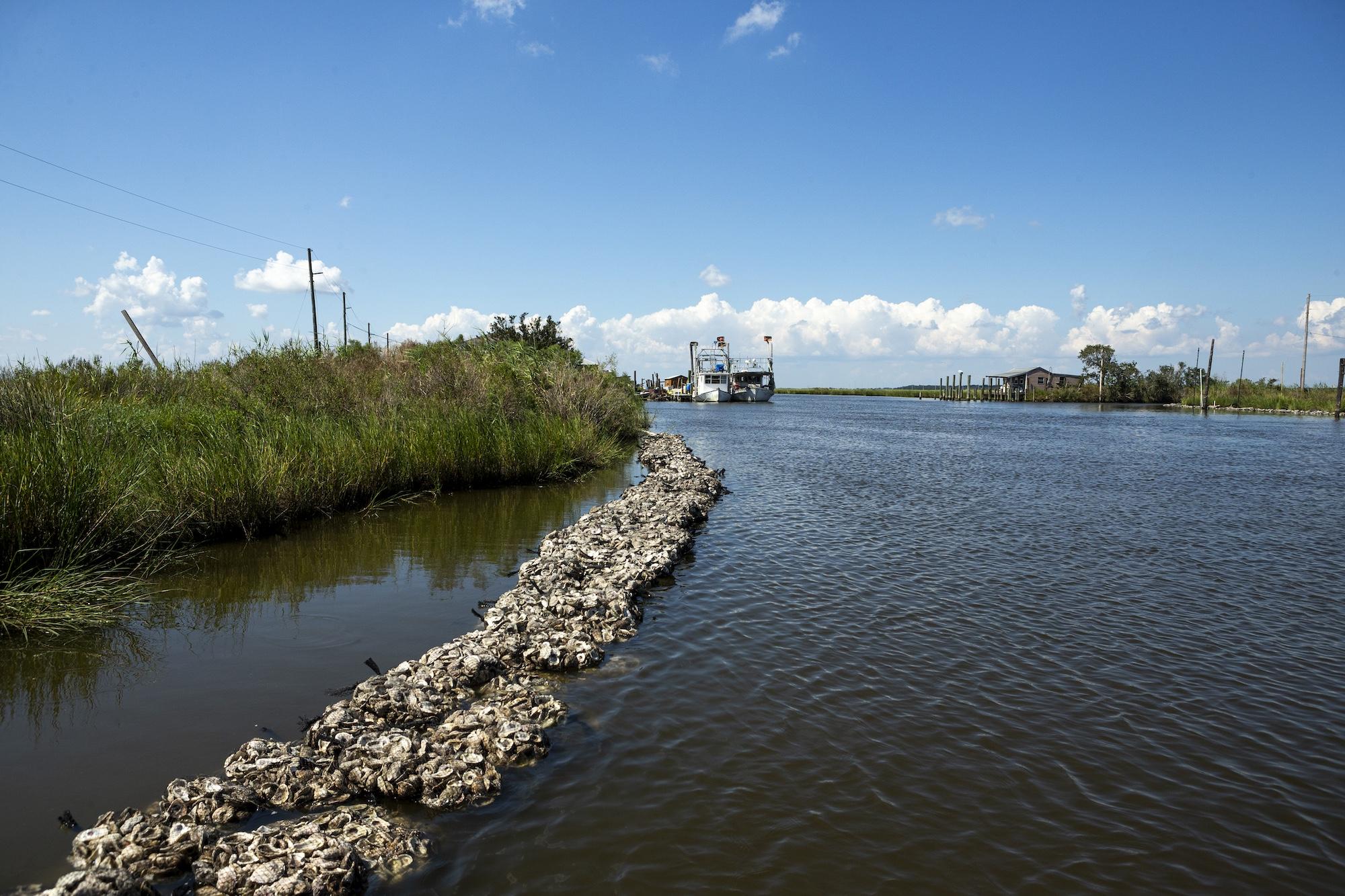
Now, the assistant professor in the School of Science and Engineering is turning his focus to Louisiana’s oyster reefs — the coral reefs of the Gulf. Like coral, oysters form natural barriers that break incoming waves, slow erosion and trap sediment.
“Oyster reefs act as natural breakwaters,” he said. “They weaken waves coming in from the Gulf, which helps keep sediment on the shore. In essence, they act as barriers to coastal erosion.”
DeCarlo’s lab will use drones equipped with LiDAR, a laser-based mapping technology, to capture fine-scale changes in reef and marsh elevation over time. The first survey will provide a baseline, and repeated flights will allow him to track whether reefs are growing, sinking or changing shape.
Joining him on the project is first-year Ph.D. student Avi Strange, who came to Tulane after earning her degree at the College of Charleston. Strange was drawn to the oyster reef project precisely because of its relevance to Louisiana.
“It felt like a way to do research that influences conservation in a direct way,” she said.
A Hopeful Science
Despite the daunting scale of land loss in Louisiana and coral collapse worldwide, DeCarlo insists on the importance of documenting change and supporting organizations that act. Recording evidence, he said, may not provide solutions on its own, but it’s the necessary first step for any meaningful response.
“Sometimes it feels like I’m just documenting loss,” he admitted. “That doesn’t solve the problem, but it’s necessary — because if we don’t show what’s being lost, nothing will be done.”
Reef restoration work led by the Coalition to Restore Coastal Louisiana and The Nature Conservancy gives him hope.
“It’s refreshing to work with organizations that are clear-eyed about the scale of the problem but are out there actually doing something,” he said. “It’s rewarding to do science that can help them.”
For Strange, the urgency is tangible every time she visits the coast. “When you go to these coastal areas, you really do see the land loss,” she said. “It looks like things are just slowly sliding into the water.”
DeCarlo’s project is just beginning, with fieldwork scheduled to start later this year. He hopes the LiDAR surveys will grow into a long-term dataset valuable to both scientists and conservation groups.
“There’s a huge coastline disappearing, and the scale is daunting,” he said. “But there’s also demonstrated success in restoring oyster reefs. That’s encouraging. The more we can learn about what works, the more impact we can have.”


